Community Flood Wall Management
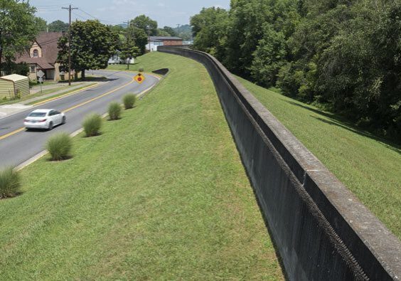
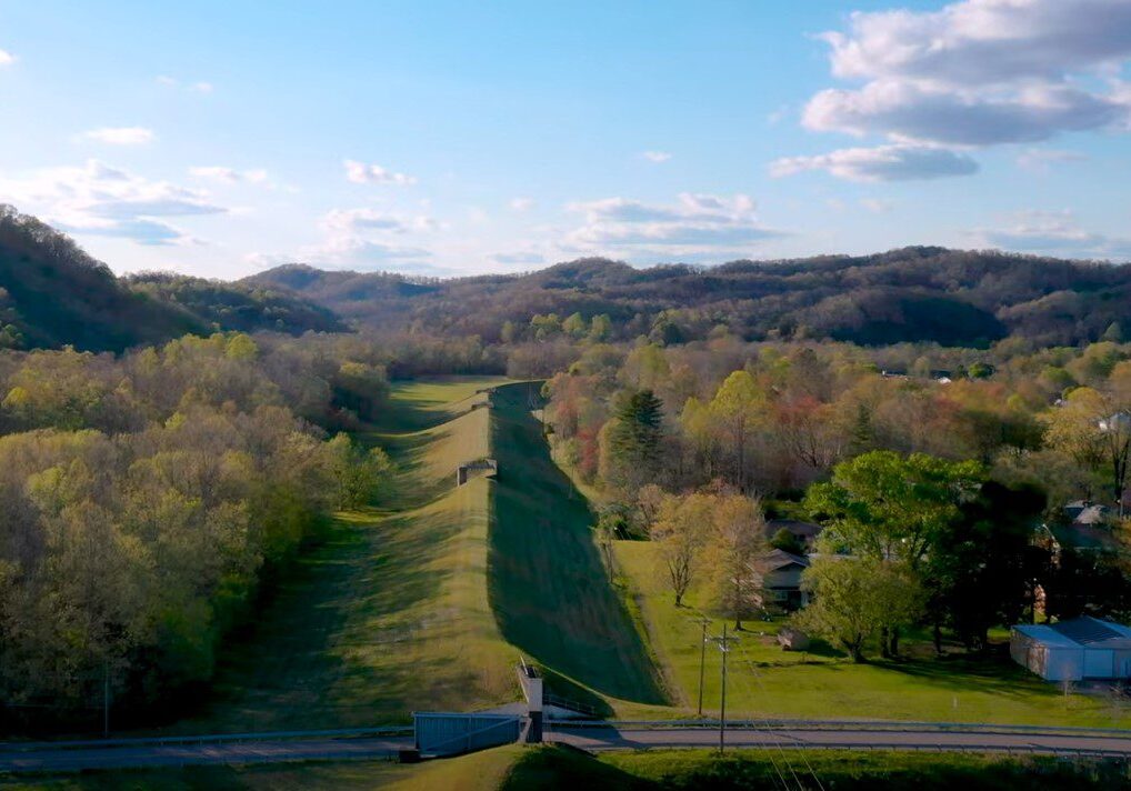
BARBOURVILLE UTILITIES diligently oversee and maintains the community's flood wall, adhering to federal regulations for regular inspections. In addition to these efforts, we provide public access to real-time Cumberland River level monitoring on our website to support environmental preservation and enhance community awareness.
1977 Flood Crisis
The flood wall was constructed in response to the catastrophic 1977 flood, designed to safeguard the city from future flood damage. Torrential rain fell from April 2–5, resulting in severe flooding across southeastern Kentucky and tragically claiming 10 lives. Fifteen counties in Kentucky, including Knox and its neighboring areas, were declared disaster zones. While the city of Barbourville was evacuated as a precaution, sandbag-enforced levees successfully held back the floodwaters. Learn about the 1977 flood by clicking the link below, or visit https://www.weather.gov/jkl/1977flood to learn more.

River Level Data
Current Cumberland River Level
Cumberland River level information for Barbourville is provided by the National Weather Service's Advanced Hydrological Prediction Service. For more information and details, visit their website.


Protecting Our Community
Barbourville Utilities is responsible for the ongoing monitoring and management of the flood wall that surrounds our city. This crucial task involves regular inspections and maintenance to ensure the wall effectively protects our community. Our commitment to this responsibility helps safeguard Barbourville from potential flood risks and ensures the safety of our residents.
